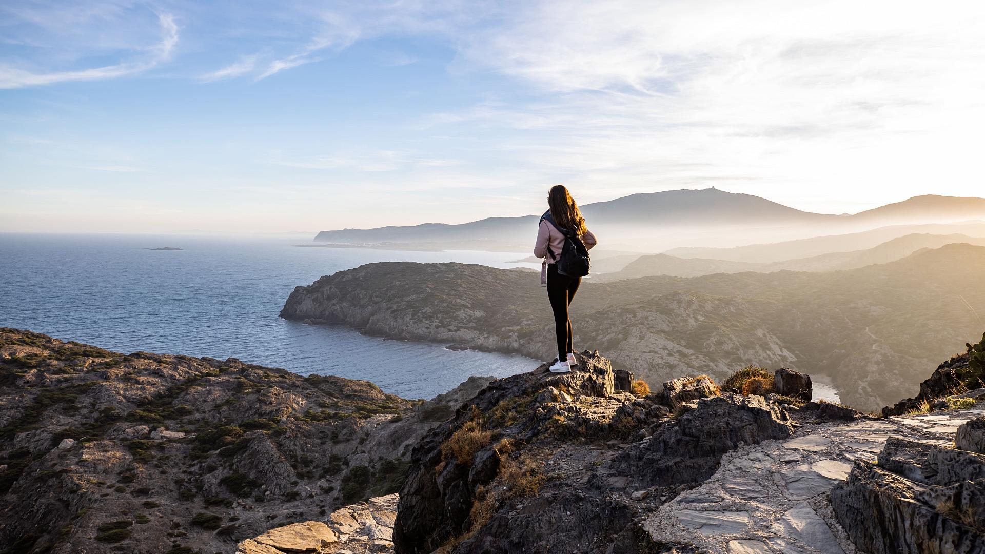


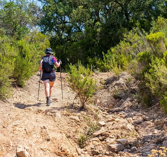
Hiking
Explore the surroundings of Llançà through its hiking routes, where each path takes you to corners full of history, spectacular landscapes and the essence of the Mediterranean. Here we present the main routes to enjoy the beauty of the surroundings.
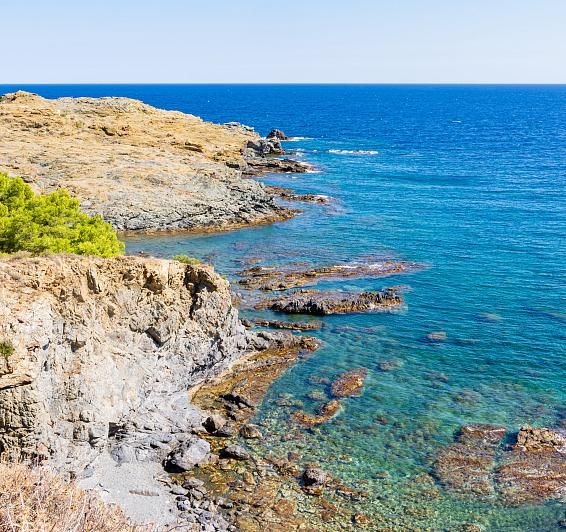
Waters and fountains of Llançà - Falcó Fountain
Description:
From the tourist office in the Port, we head towards the village of Llançà, passing by the Chapel of the Port. We go up Gardissó street to the Font d'en Falcó, behind the institute. From the fountain, we follow a track to Llebeig street and descend to the beach of les Tonyines. The path continues along the GR-92, enjoying impressive views over the coast, passing by the beaches of La Farella and les Carboneres, until returning to the Port of Llançà.
- Starting and finishing point: Tourist Office of the Port
- Elevation difference: 25 m
- Duration: 1 h 45 min
- Difficulty: Low
- Type of road Asphalt, track and trail
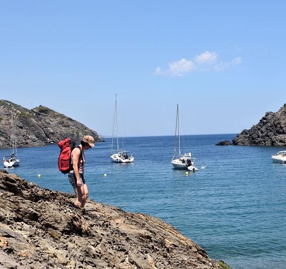
Cap de Ras route
Description:
We set off from the tourist office and walk along the seafront towards the Sant Carles residential area. We pass by the beaches of Sant Jordi, Grifeu and Canyelles until we reach Cap de Ras, travelling along the entire coastline. The return journey is made along the same path, once again enjoying the coastal landscape.
- Starting and finishing point: Tourist Office of the Port
- Elevation difference: 30 m
- Duration: 2 h 45 min
- Difficulty: Low
- Type of road: Road, trail and track
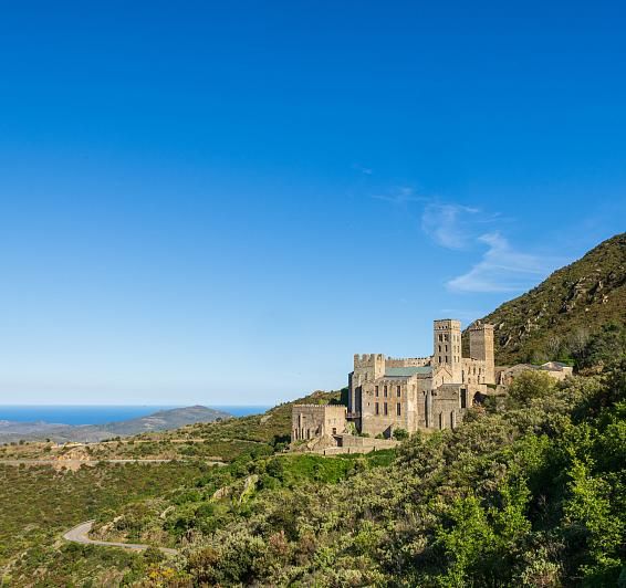
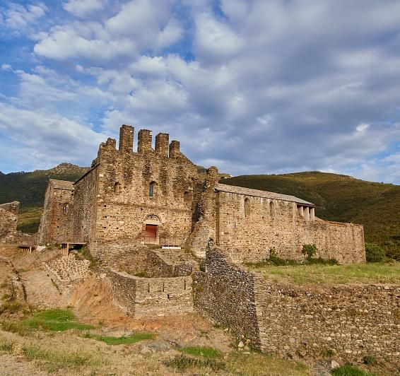
The St. Peter de Rodes gorge
Description:
We set off towards Coll del Perer, cross the Ribera d'en Prim and ascend towards the Coll. We descend to Vall de Santa Creu and continue to the beach along the riverside path. The return is via the GR-92, bordering the coast to Llançà. Starting and finishing point: Tourist Office
- Elevation difference: 409 m (Coll del Perer)
- Duration: 4 h 15 min
- Difficulty: Medium-high
- Type of path: Track, ravine and trail
Recommendations: Appropriate footwear and good physical condition.
From Valleta to Sant Silvestre and Sant Genís
Description:
From Valleta, we ascend along the riverbank to Sant Silvestre. Then, we continue towards Coll de les Portes, with the option of visiting the Puig del Llop dolmen. From the col, we descend to Sant Genís del Terrer and return following the crest of Clot de la Valleta.
- Start and finish point: Valletta
- Elevation difference: 270 m
- Duration: 2 h
- Difficulty: Medium
- Type of road: Track
From Puig de Esquers to Sant Quirze de Colera
Description:
From Valleta, we ascend along the riverbank to Sant Silvestre. Then, we continue towards Coll de les Portes, with the option of visiting the Puig del Llop dolmen. From the col, we descend to Sant Genís del Terrer and return following the crest of Clot de la Valleta.
- Start and finish point: Valletta
- Elevation difference: 270 m
- Duration: 2 h
- Difficulty: Medium
- Type of road: Track
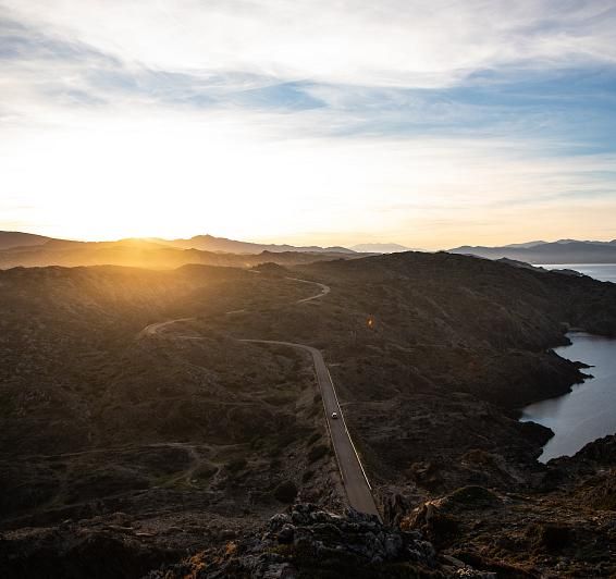
GR 11
Description:
Long-distance route that crosses the southern slopes of the Pyrenees, connecting the Cantabrian Sea with the Mediterranean along 825 km, of which 335 run through Catalonia and Andorra.
- Starting point: Cape Higer
- Arrival: Cap de Creus
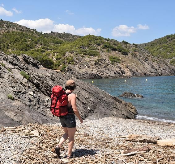
GR 92
Description:
Part of the European E-10 trail, this route runs along the Mediterranean coast from north to south, passing through Catalonia, the Valencian Community, Murcia and Andalusia, always as close to the sea as possible.
- Starting point: Portbou (Catalan section)
- Arrival: Ulldecona (Catalan section)
Medieval Plain
Description:
A walk through the old town of Llançà, along Carrer Dins la Vila, the Wall and up towards the windmill. We go down Carrer Sant Vicenç, visit the church of Sant Vicenç and the old Abbot's palace, until we reach the defence tower.
- Starting and finishing point: Town Square Tower
- Elevation difference: 100 m
- Duration: 1 h 15 min
- Difficulty: Low
- Type of road: paved roads
Puig d'Esquers route
Description:
From the tourist office, we head towards Sant Silvestre and follow the GR-11 to Mas Guanter. We climb up to Puig d'Esquers to enjoy the views and visit the dolmen. We go down towards Sant Miquel de Colera and return following the Socarrador mountain range to l'Argilera, bordering the sea to the Port.
- Starting and finishing point: Tourist office
- Elevation difference: 605 m
- Duration: 6 h
- Difficulty: Medium-high
- Type of path: Track, trail